

Tipo
Course
تكنولوجيا المعلومات الجغرافية المكانية في الحالات الهشة
Ubicación
Web-based
Duración
2 Days
Área del programa
Satellite Imagery and Analysis
Sitio web
Precio
0,00 US$
Correo Electrónico del Centro de Coordinación del Evento
unosat-elearning@unitar.org
Inscripción
Open-registration event
Tipo de aprendizaje
E-learning
Idioma(s)
Arabic
Pilar
United Nations Satellite Centre UNOSAT
Antecedentes
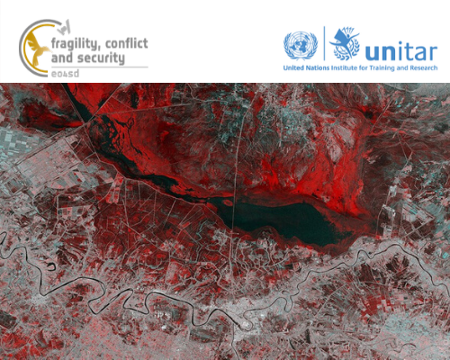
This e-learning course was created as part of the Earth Observation for Sustainable Development: Fragility, Conflict and Security project funded by the European Space Agency and aims to give a short but practical introduction to Geospatial Infomation Technology (GIT) in states affected by fragility, with a focus on remote sensing.
NOTE- How to access the course:
Once you register for the course, you can access the online course here: https://learnatunitar.org/course/view.php?id=540
*For any technical assistance related to this course, please contact Ms. Sumeera Kamil (sumeera.kamil [at] unitar.org (sumeera[dot]kamil[at]unitar[dot]org))
Contenido y estructura
The e-learning course is structured into 4 modules:
- Introduction to GIT in Fragile Contexts
- What Can Satellites See?
- GIS analysis for Fragile States
- How To Use Our Online Platform (E04SDFCV)
Metodología
This self-paced course promotes an interactive approach through lessons and multimedia material, stimulating critical thinking. It provides a lot of flexibility, since you will be able to complete the course at your own pace and timeframe.
Each interactive module is accompanied by a quiz.
To receive a Certificate of Completion one needs to achieve a minimum grade of 80% on each quiz.
Información adicional
Technical Requirements: The course is delivered through UNITAR’s Virtual Learning Environment and participants will require a reliable internet connection throughout its duration.
Protección de Datos y Privacidad
Los datos personales de los participantes que solicitan, se registran o participan en los cursos y otros eventos de UNITAR se rigen por la Política de Privacidad y Protección de Datos. Al solicitar, registrarse o participar en este evento, el participante reconoce que conoce dicha política y aceptan sus condiciones.