
UNITAR Online Catalogue
Disaster Risk Monitoring Using Satellite Imagery
United Nations Satellite Centre UNOSAT
种类
Course
位置
Web-based
日期
to
期限
1 Days
项目领域
Satellite Imagery and Analysis
活动协调人email
unosat@unitar.org
背景信息
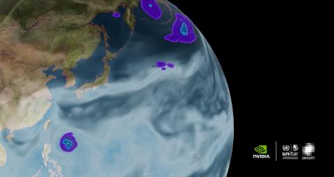
Learn how to build and deploy a deep learning model to automate the detection of flood events using satellite imagery. This workflow can be applied to lower the cost, improve efficiency, and significantly enhance the effectiveness of various natural disaster management use cases.
THIS COURSE IS CO-DEVELOPED BY UNOSAT and NVIDIA. IN ORDER TO REGISTER FOR THIS COURSE, PLEASE KINDLY ENROLL ON THIS WEBSITE: https://courses.nvidia.com/courses/course-v1:DLI+S-ES-01+V1/?ncid=so-link-599935#cid=dli03_so-link_en-us
学习目标
By participating in this is course, you will learn how to:
- Implement a machine learning workflow for disaster management solutions
- Use hardware accelerated tools to process large satellite imagery data
- Apply transfer-learning to cost-efficiently build deep learning segmentation models
- Deploy deep learning models for near real-time analysis
- Utilize deep learning-based model inference to detect and respond to flood events
更多信息
Prerequisites:
- Competency in the Python 3 programming language
- Basic understanding of Machine Learning and Deep Learning concepts (specifically variations of CNNs) and pipelines
- Interest in understanding how to manipulate satellite imagery using modern methods
Tools, libraries, frameworks used: NVIDIA DALI, NVIDIA TAO Toolkit, NVIDIA TensorRT, and NVIDIA Triton Inference Server